
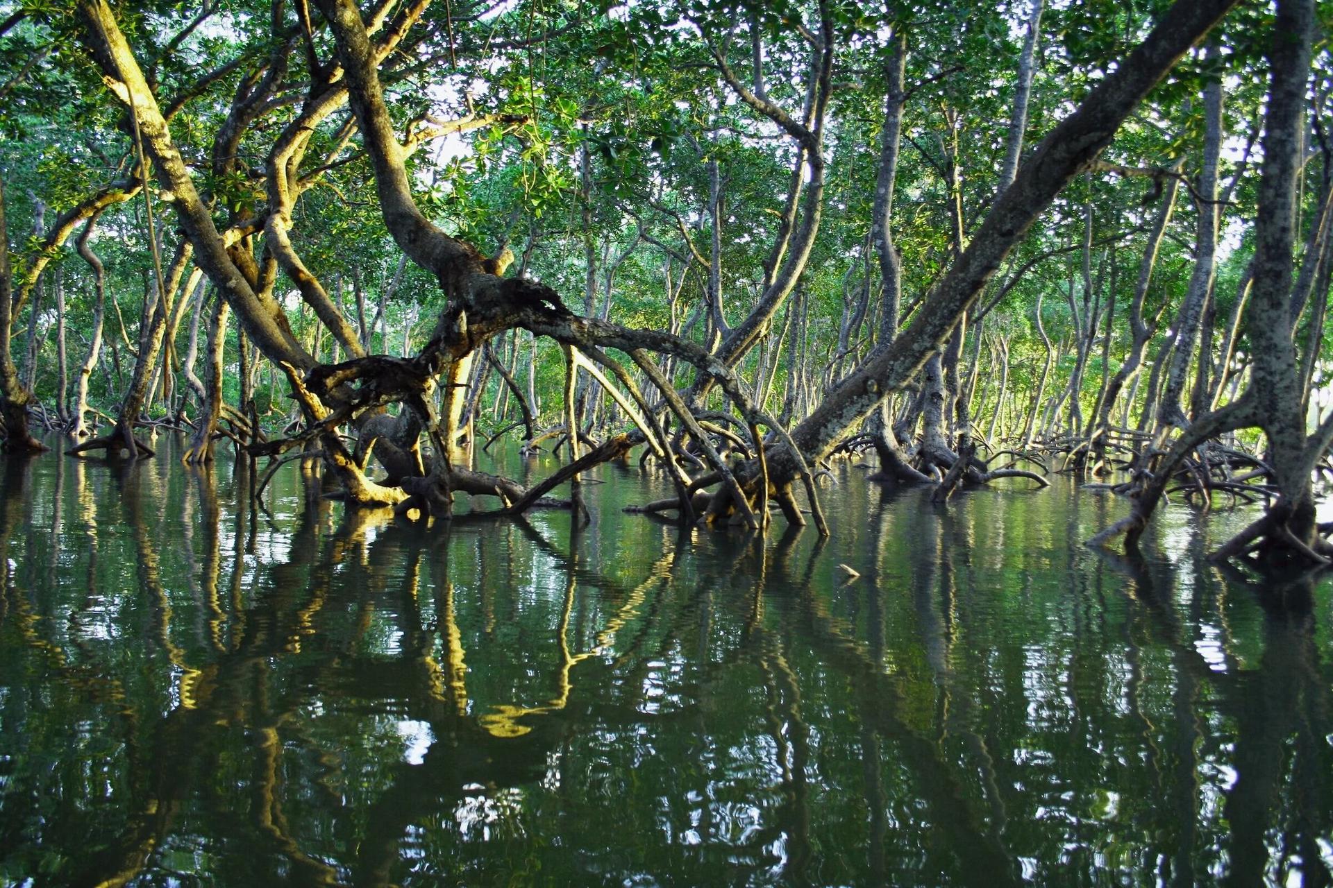
Our approach
Water first. People always.
Then the carbon.
From first meeting to first issuance
Seven steps, in this order.
The order matters. Carbon accounting starts only after consent, rights and hydrology are settled, never before.
- 01
Listen
We start by mapping who holds rights and who depends on the land: statutory and customary authorities, landholding families and clans, fishers, fish processors, wood users, women and youth. “The community” is never treated as one voice.
- 02
Consent
A three-stage, free, prior and informed consent process, with whole-community meetings for disclosure and small-group sessions for specific rights and concerns. Grievance channels open on day one: a web form, paper forms, contact cards and a named community lead.
- 03
Map
GIS boundaries, drone mosaics and field visits establish exactly where we work, and confirm we overlap with no other carbon claim. Every site is screened for tidal exchange, salinity, creek connectivity and erosion risk before it's accepted.
- 04
Design
Baseline surveys with researchers from the University of Cape Coast, stratification, in-country allometry and a Project Design Document under Verra's VM0033 methodology. Legal partners document tenure and carbon rights parcel by parcel.
- 05
Restore
Community-run nurseries raise native mangrove seedlings. Local crews prepare sites, plant, protect and replant. The planting phase is expected to create over 1,000 paid local jobs, with priority for the women, youth and resource users most affected.
- 06
Prove
Survival plots, satellite change detection through Arkadiah and dated field evidence feed monitoring reports that are ready for verification. Independent verification comes before any credit is issued.
- 07
Share
A fixed 20% of net project value flows to jointly governed community funds for the life of the project. It's separate from, and additional to, landholder compensation and the community budget carried during implementation.
Site screening
Most land doesn't make it through.
A candidate area becomes a project only after it clears every gate. Sites that fail on water or rights are fixed first or dropped, never planted and hoped for.
Learning from the landscape
What went wrong before, and what we do about it.
NGOs, researchers and water authorities have worked on mangrove restoration in the Keta–Songor landscape for years. Their experience is our evidence base. These aren't failures of any one organisation. They're the conditions any durable project has to meet.
The risk
Why it matters
Our design response
Restricted hydrology
Planting alone fails where tidal exchange is blocked.
Hydrology-first screening, with creek restoration where needed.
Salinity & salt-pan soils
Degraded substrates kill seedlings.
Site and species matched to soil; unsuitable areas excluded or remediated first.
Low seedling survival
Poor survival undermines every carbon estimate.
Nursery-to-planting protocols, survival monitoring and gap-filling.
Grazing & firewood cutting
Young stands are lost to livestock and fuel demand.
Community protection, access rules and livelihood alternatives.
Short project cycles
Outcomes go unrecorded once the funding ends.
40-year MRV architecture, built in from the first day.
Overlapping claims
Several developers in one landscape breed confusion.
GIS boundary control and documented non-overlap with every known project.
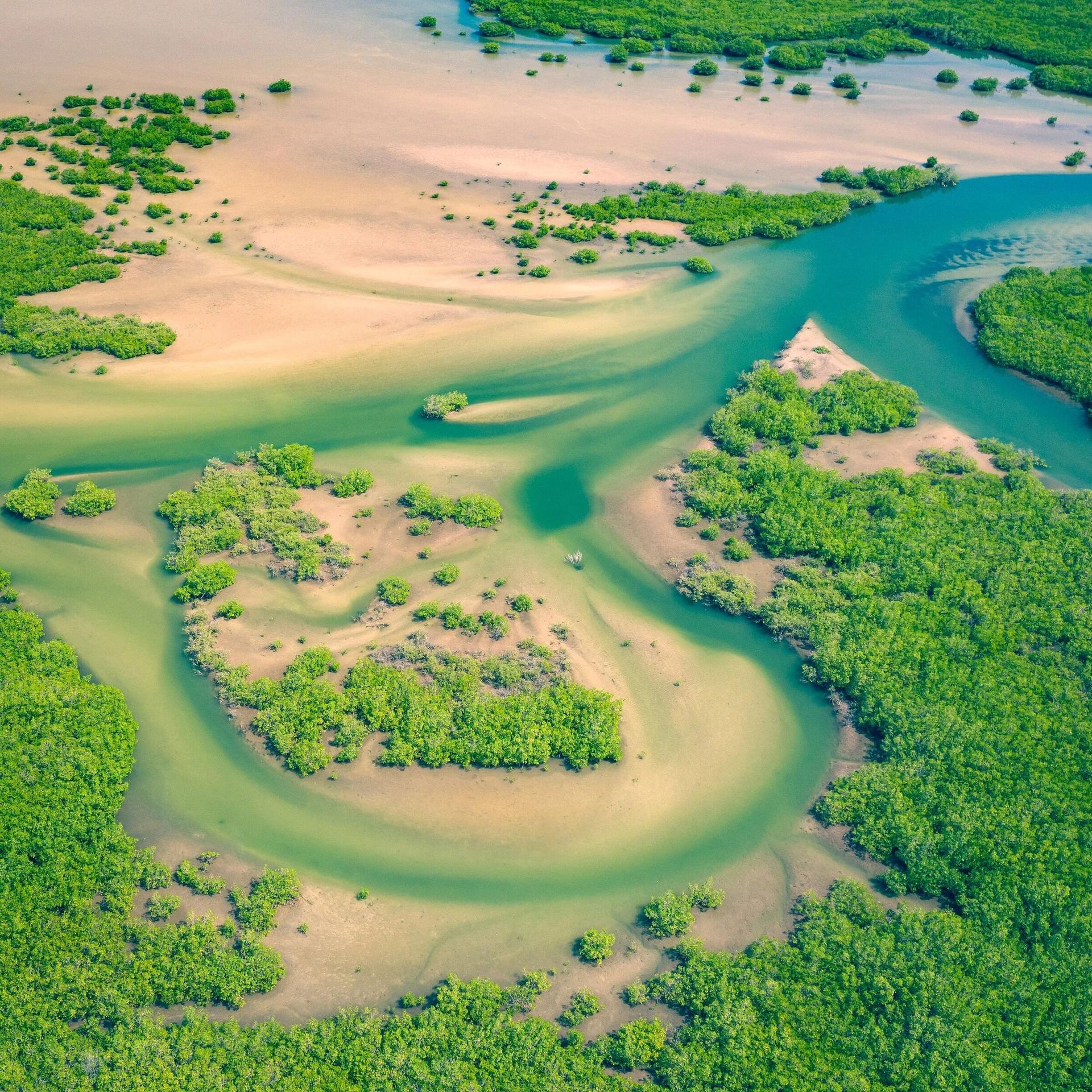
Carbon integrity
We'd rather under-promise.
We take a conservative, science-based approach to every carbon estimate. Our numbers are built from field measurement, local research and the full set of methodology deductions, not from best-case assumptions. When our estimates change, we want them to change for the better.
We work under Verra's VCS Program and the VM0033 tidal wetland methodology, inside Ghana's carbon-market framework through the Carbon Market Office. We're preparing now for the tighter Verra and FPIC requirements that take effect in January 2027.
- Standard
- Verra VCS
- Methodology
- VM0033
- Host country
- Ghana CMO
- Crediting horizon
- 40 years
See the approach at work on the Keta Lagoon.
Explore the pilot→