Projects
A pipeline built
rung by rung.
Every project area passes the same gates: hydrology, tenure, community consent and carbon eligibility. We never present a candidate area as more advanced than it is.
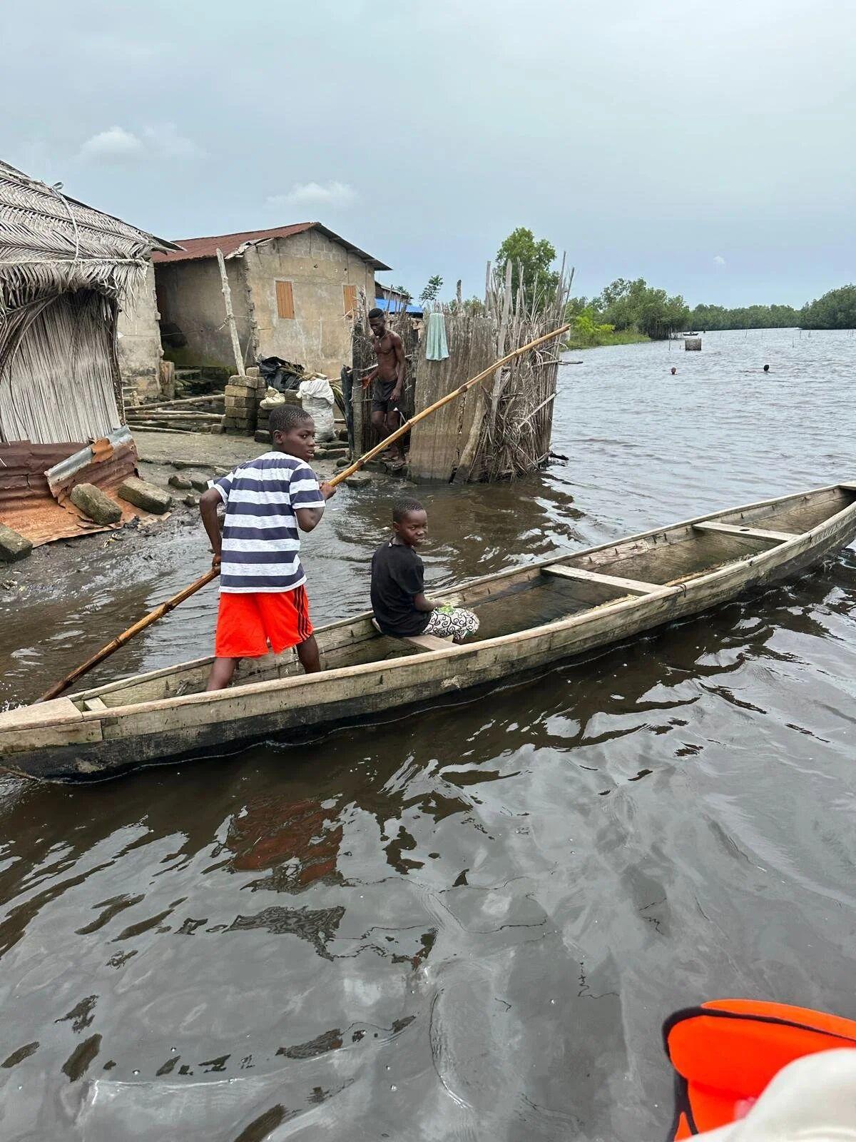
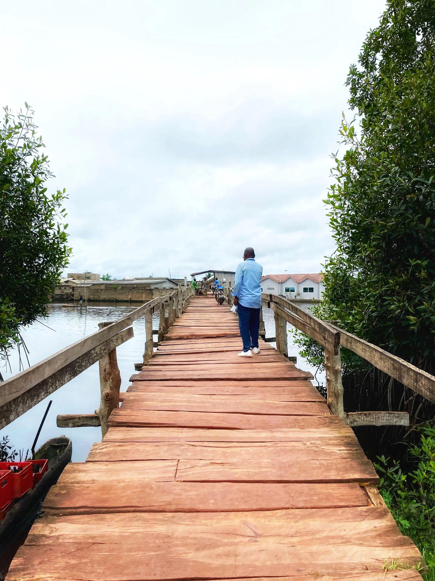
Long-term platform
Ghana Coastal Platform
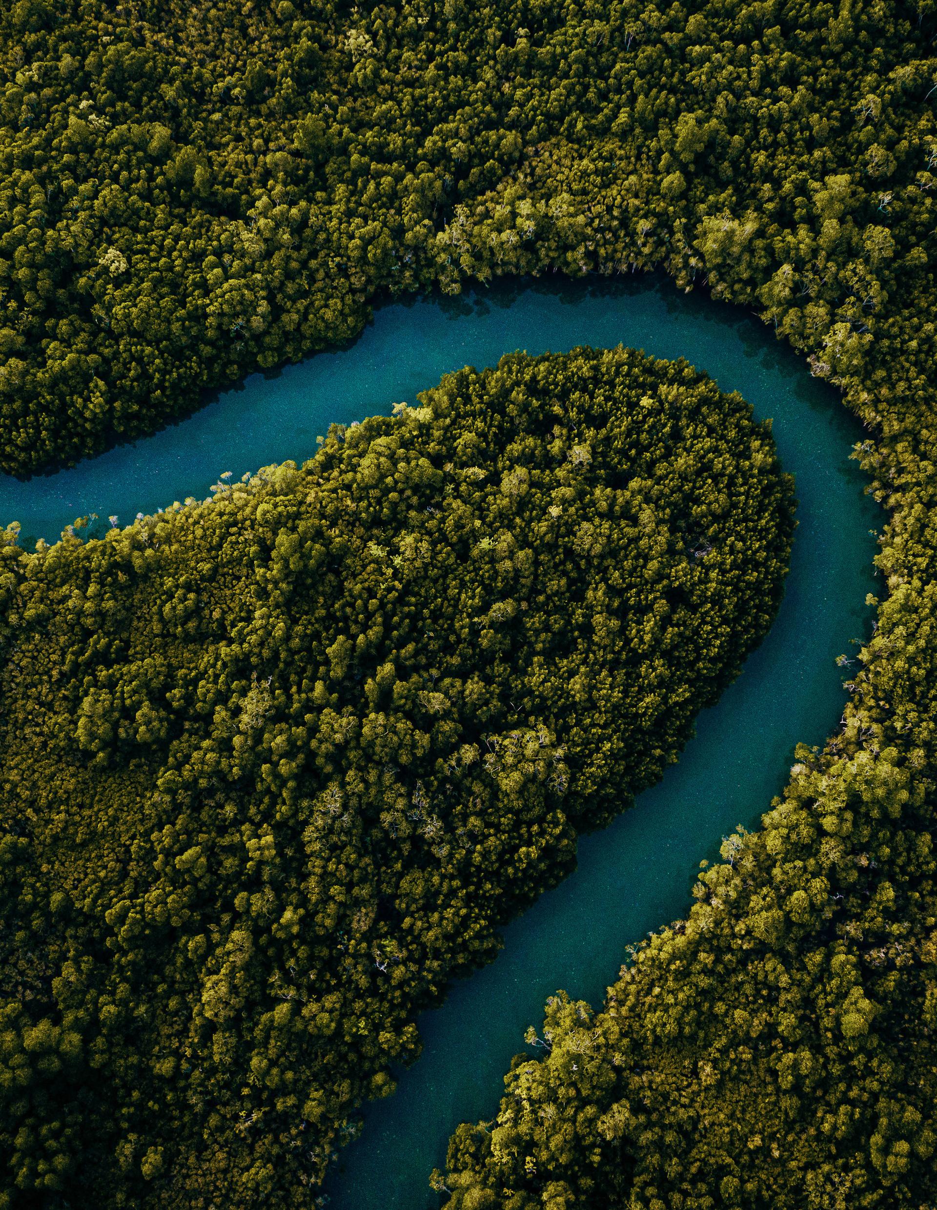
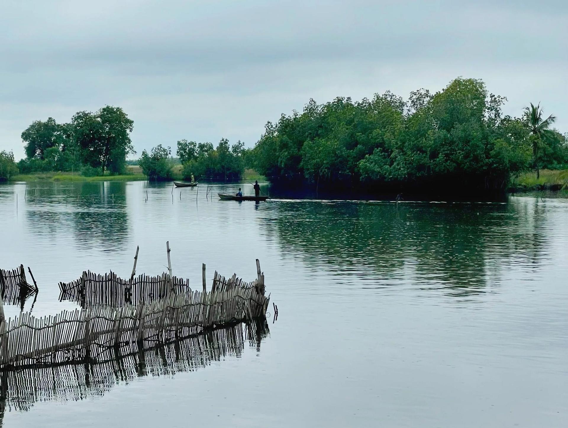
Ghana's five coastal Ramsar systems (Keta, Songor, Densu Delta, Sakumo and Muni-Pomadze) cover around 200,000 ha of wetland landscape. Forestry counterparts estimate that upwards of 50,000 ha may ultimately suit mangrove restoration, subject to full feasibility, tenure and community screening.
50,000ha
restoration potential · strategic screening
Areas are indicative and remain subject to GIS confirmation, ecological and hydrological screening, legal documentation, community participation, validation and verification. Ramsar boundaries are shown for landscape context only.