Ghana · PDD nearing completion
Keta Lagoon Pilot
KETA LAGOON · KETU SOUTH, VOLTA REGION
Area
2,066ha
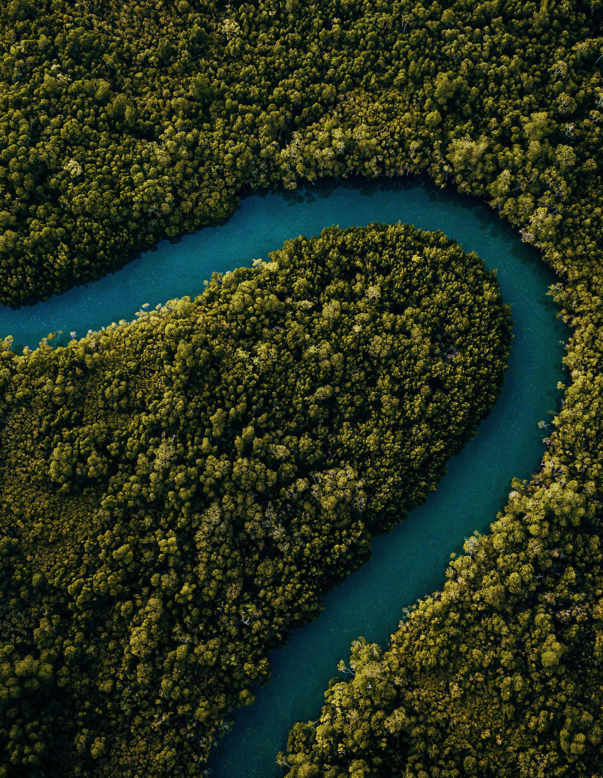
hectares of degraded mangrove under restoration design
- Methodology
- Verra VCS · VM0033
- Ecosystem
- Degraded mangrove · Ramsar wetland
- Communities engaged
- 25+
- Community members
- 15,000+
- PDD submission
- Sept–Oct 2026 (target)
- Community fund
- 20% of net project value
The place
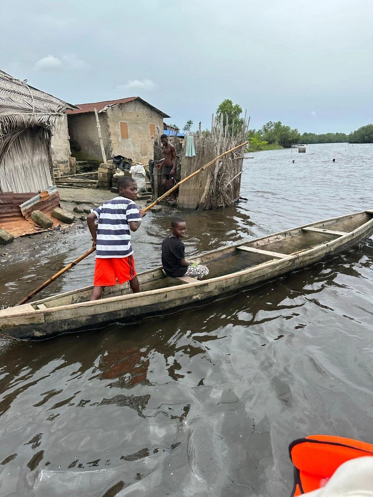
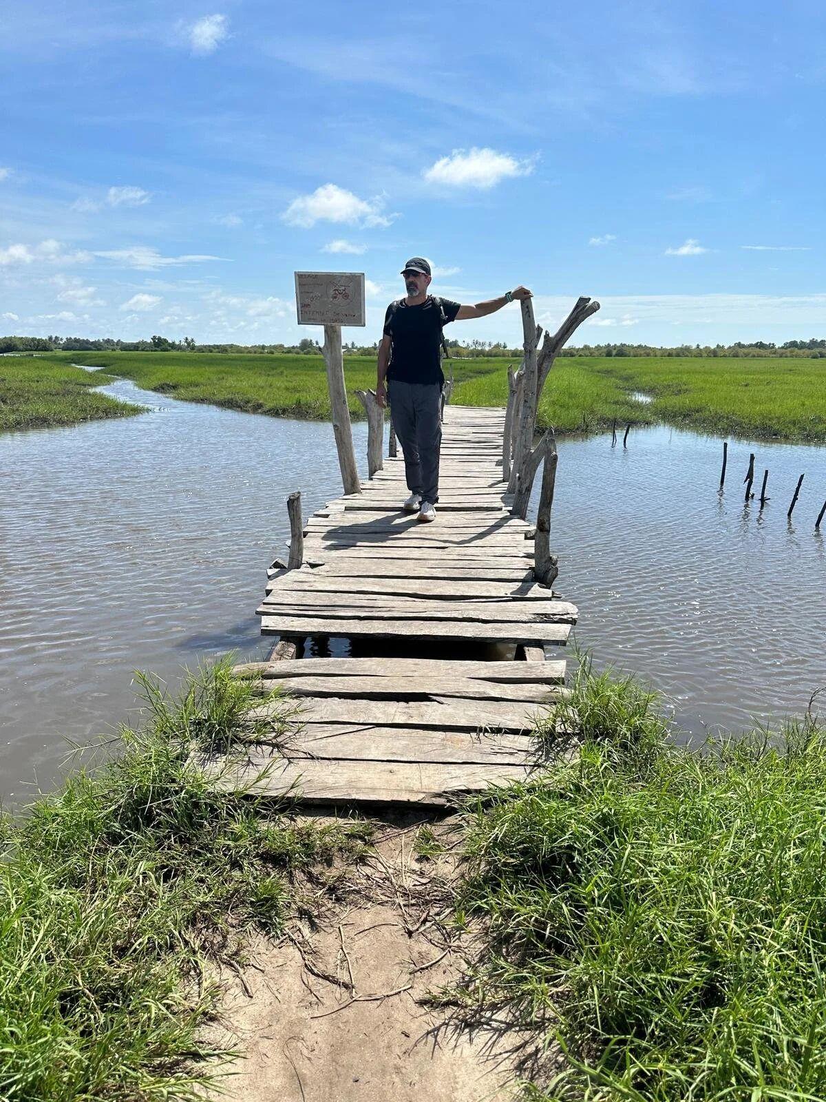
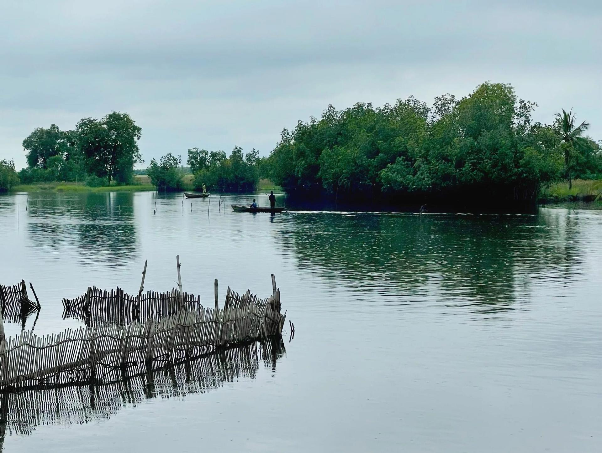
The Keta Lagoon Complex is a Ramsar wetland of international importance and Ghana's largest coastal lagoon: marsh, floodplain, farmland and mangrove, with fishing settlements all around it. The mangroves here have been cut for firewood faster than they can regrow. With them have gone the fish nurseries, the storm buffer and much of the coast's resilience. Ghana is estimated to have lost more than 80% of its original mangrove cover.
Hydrology first
Restoration in lagoon systems often fails for reasons that have nothing to do with planting: blocked creeks, salt-pan legacy soils, grazing, unmanaged harvesting. We screen every site for tidal exchange, salinity and creek connectivity before a single seedling goes in. Sites that aren't ready are remediated or excluded rather than planted and hoped for.
Built with the communities
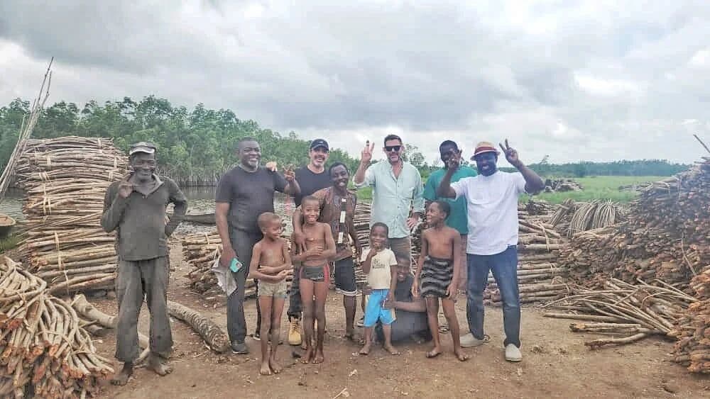
Consent here is an ongoing process, not one meeting. We map who holds rights to each parcel: chiefs, clans, families, fishers, fish processors and wood users. Then we work through a three-stage FPIC process with whole communities and with smaller groups. Landholders are compensated, and a fixed share of net project value goes into jointly governed community funds.
Evidence by default
Boundaries are held in GIS and checked against every other carbon claim in the landscape. Drone mosaics, satellite change detection through the Arkadiah platform, and dated field records build an evidence trail from the first community meeting to verification. Our carbon estimates are deliberately conservative and grounded in the science, so investors and buyers aren't buying optimism.
From the field